
Actionable Insights from Imperfect Data
We recognize that data are expensive, rarely perfect, and often unavailable for locations and populations of interest; nonetheless, decisions must be made. Biomark offers Professional Services to support key decision making. Our team of fisheries scientists and remote sensing experts have over 100 years of combined experience in solving complex analytical problems.
Estimating Abundance
- Mark-Recapture Modeling — estimate total population size using multiple sample events to determine marked to unmarked ratio and extrapolate to the population level
- State Space Modeling — a modeling approach robust to changes in survey type and effort (common among long term monitoring programs) that maximizes data from multiple sources to produce abundance estimates with refined measures of uncertainty
- Branching Patch Occupancy Modeling — leverage a network of recapture infrastructure (e.g., instream PIT tag detection systems, acoustic receivers) to estimate movement and detection probabilities of animals throughout a branching network
Fish & Habitat Relationships
- Habitat Suitability (HSI) — leverage existing habitat suitability curves to determine depth, velocity, temperature, and composite suitability by species and life stage
- Habitat Preference — investigate high-density sites to evaluate preferred habitat characteristics by species and life stage to direct restoration efforts
Quantile Random Forest (QRF) - Habitat Capacity — evaluate habitat capacity using random forest methods that capture non-linear fish-habitat relationships, naturally incorporate interactions between habitat characteristics, and are robust to outlier data points
- Bioenergetics — assess impacts of morphological simplification and water management using bathymetric LiDAR, spatially continuous numerical models, and stream characteristics
Movement & Survival
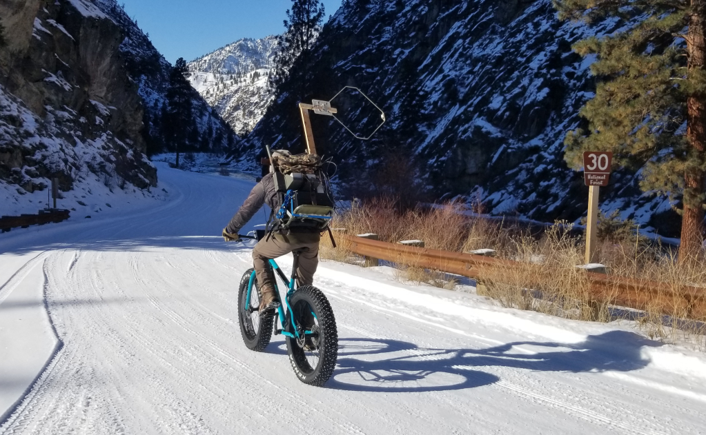
- Study Design & Implementation — study designs are based on project goals and existing infrastructure to deploy antennas/receivers, evaluate range, customize tag reporting, and minimize stress during animal capture, tagging (surgical or external), and release
- Data Collection — using various telemetry technology including fixed and mobile detection of PIT, acoustic, radio, satellite & accelerometer tags to make inferences about animal movement, behavior, and survival
- Data Processing (telemetry and PITcleanr) — open source R packages clean detections from radio receivers or PIT tag detection systems into capture histories for movement modeling
- Analysis and Visualization — infer movement, survival, and behavior with techniques such as Cormack-Jolly Seber (CJS) and Hidden Markov (HMM) modeling, and display results in an clear manner through static and dynamic visualizations
Automated Analytics
- *PITcleanr — an R package to clean large PIT tag observational datasets and to determine the migration route of thousands of individuals from hundreds of thousands of observations
- *telemetyr — an R package to clean noisy radio telemetry detections from an array of receivers and into capture histories for movement modeling
- Multisource Data Pairing — tools to temporally and spatially join various data sources such as fish observations, on-the-ground habitat data, drone imagery, and satellite data
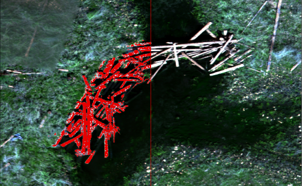
- Automated Imagery Processing — employ machine learning techniques to automate data extraction from drone and satellite imagery
Life Cycle Monitoring
- Integrated Population Modeling — combine multiple data sources of various scales (individual, evolutionary significant unit (ESU), population level) within a Bayesian framework to leverage any available data
- salmonIPM — an open source R package built on the Stan platform for Bayes-ian inference via Hamiltonian Monte Carlo, a state-of-the-art tool that can handle complex high-dimensional models
- Advantages of IPMs
- Account for variation through space, time, and across populations to reduce bias in estimates of population viability
- Robust to fluctuations in data by borrowing strength from data-rich years to improve estimates in data-poor years
Applied Genetics
- Parentage Based Tagging (PBT) — a non-invasive method to tag thousands or millions of offspring simply by genotyping the parental broodstock that allows for tracking of individuals while eliminating traditional physical tagging considerations such as tag loss, detection issues, and handling stress
- Genetic Stock Identification — identify the origin of individuals or mixed populations by comparing the genotypes of individuals to a baseline characterizing all potential contributing populations, commonly used for assessments of stock structure or abundance
- Population Genetics — monitor the genetic structure and diversity among populations, effective population size and demographics, and assessments of selection and adaptation
Field Sampling
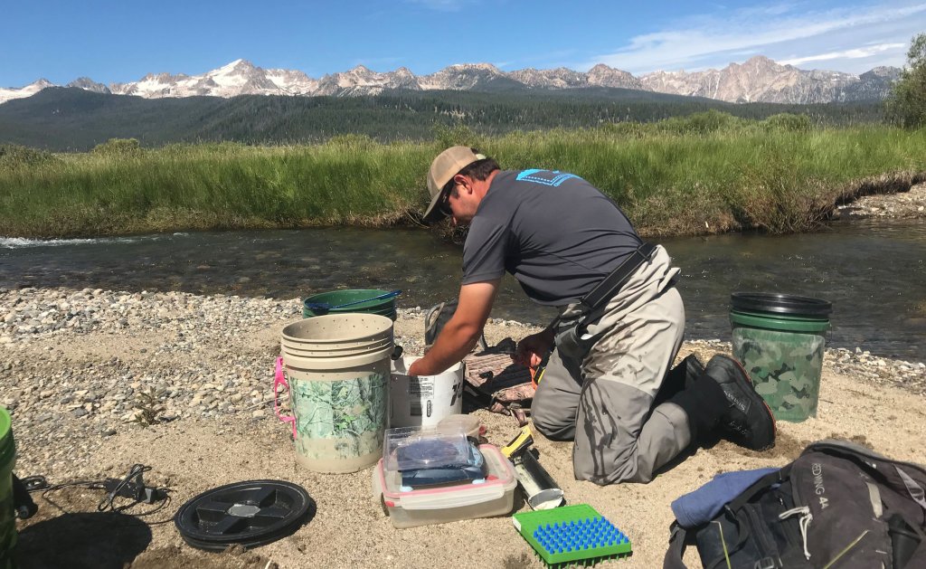
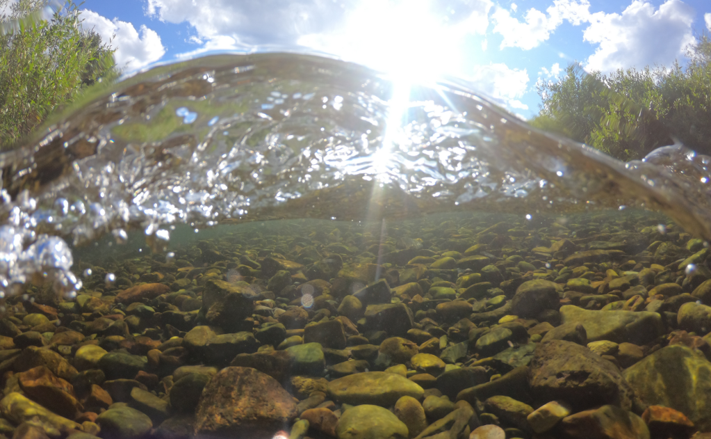
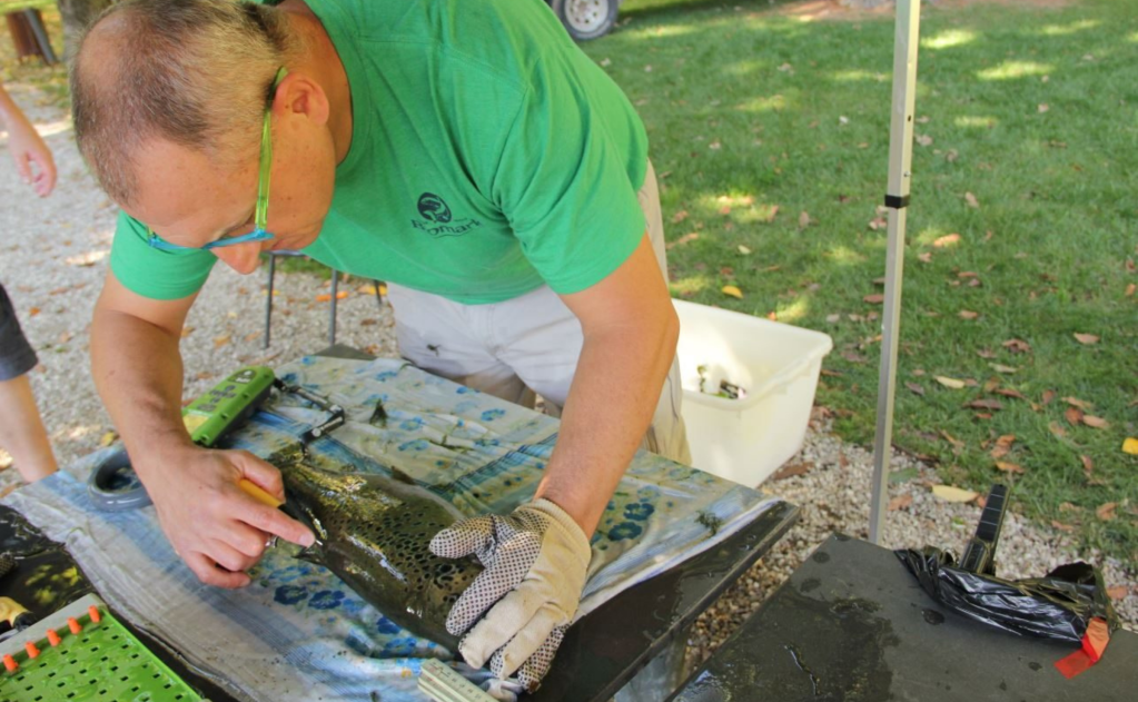
- Animal Capture — equipment and training with a variety of capture techniques including electrofishing, angling, seine netting, rotary screw trap operation, and snorkel surveys
- Animal Handling — experience minimizing stress and injury while handling a variety of species and during tagging (PIT, radio, acoustic, satellite), lavage, and blood and tissue sampling
- On-the-ground Surveys — in depth habitat data collection in a variety of terrestrial, aquatic, and mixed ecosystems using customizable electronic data collection applications
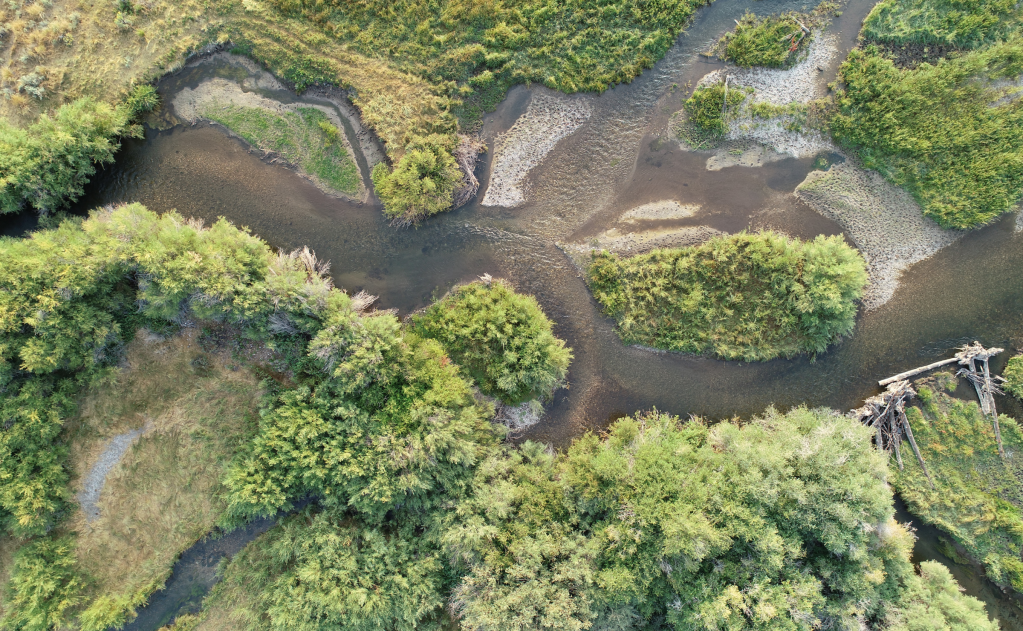
- Remote Sensing — a variety of drone survey options (hi-res RGB, multispectral) and products (orthomosaic, dense cloud, digital elevation model), in addition to the integration and analysis of other remotely sensed data such as LiDAR and satellite imagery
Scientific Communication
- Data Visualization — deliver clear results tailored to the audience using a suite of visual tools including static figures that display quantitative evaluations with qualitative context, dynamic visualizations that capture animal movement through space and time, and imagery products such as 3D renderings and virtual site fly throughs
- Interactive Web (Shiny) Apps — a dynamic application for visualizing a variety of data sources in the appropriate context, such as changes across space, time, and population
- Workshops — custom workshops for a variety of groups including conference organizers, universities, and private groups. Previous workshops include PIT tagging and data collection, instream antennas and remote site installation and maintenance, and big data analyses for movement and abundance, and study design and implementation for wildlife management
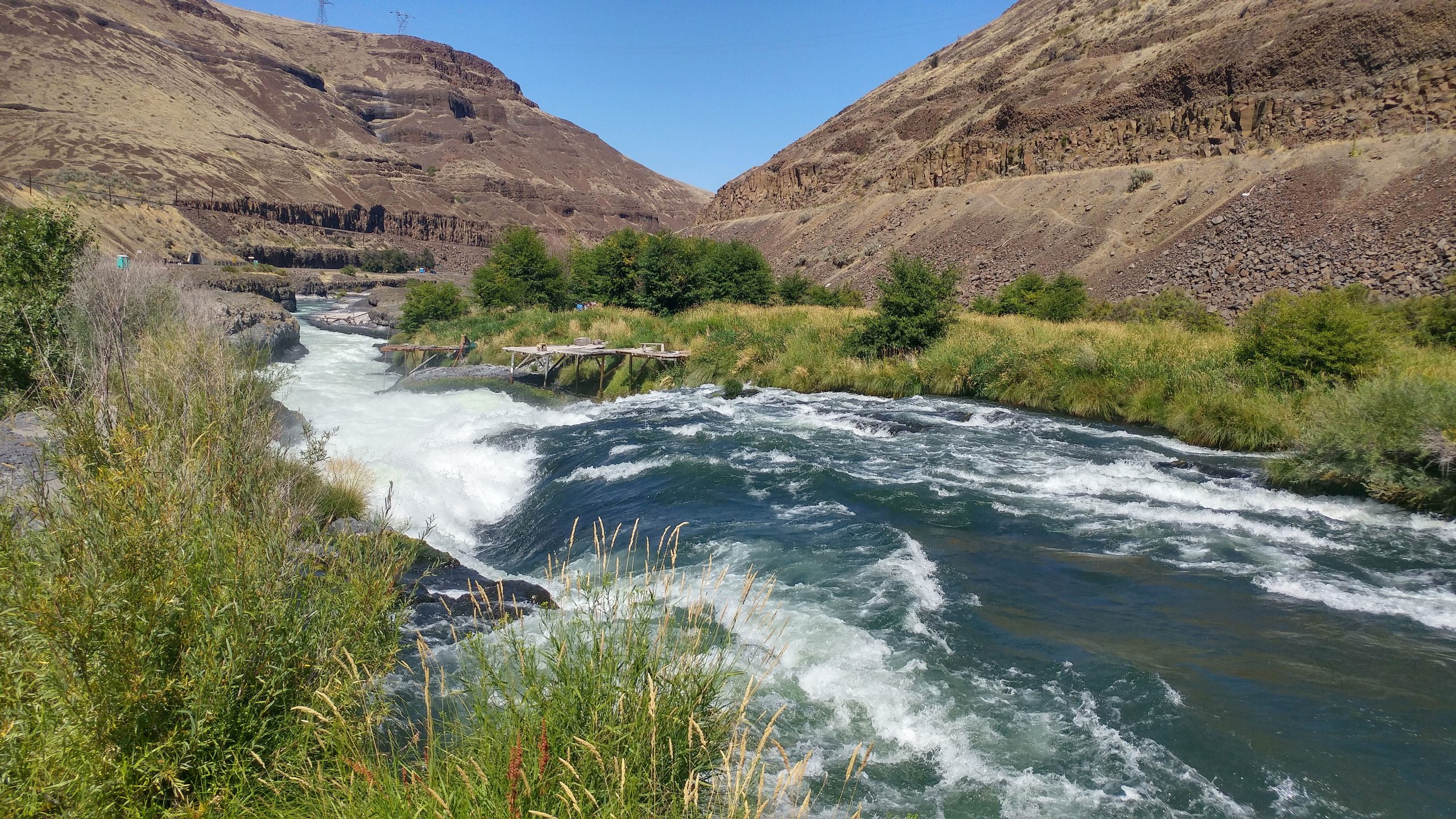
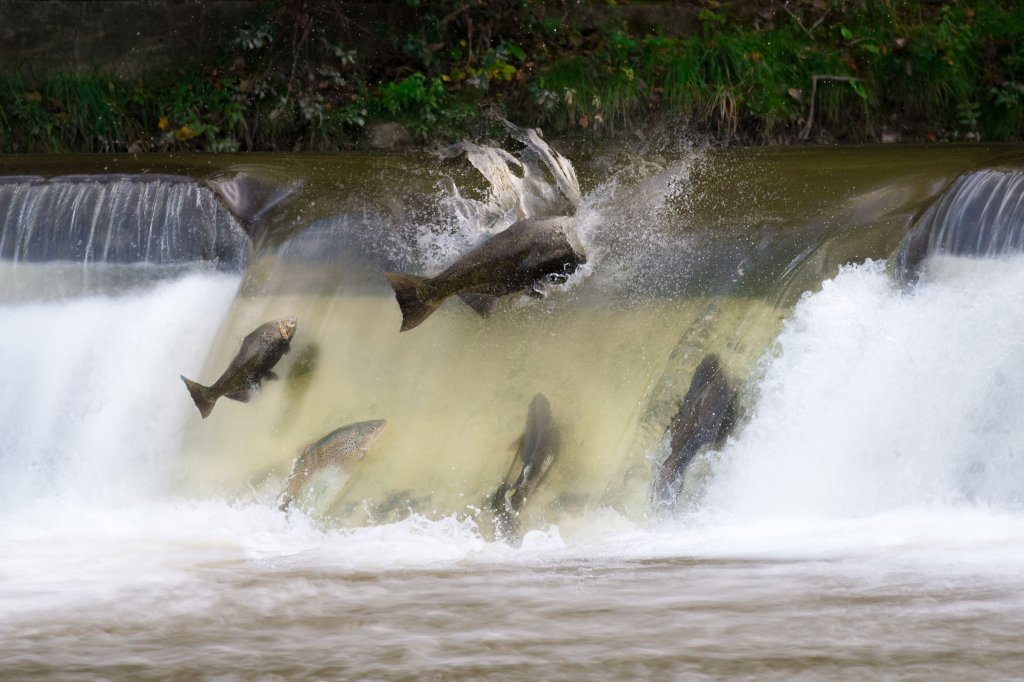
Salmonid Adult Escapement
Estimates of adult salmonid escapement are crucial to evaluating
the status of depleted populations and the success of programs to recover them. Unfortunately, estimates of escapement and uncertainty in those estimates can be difficult and/or expensive to obtain, especially in remote locations. To address this, we have developed a branching patch-occupancy model within a Bayesian framework to estimate adult abundance at multiple spatial scales (e.g., tributary, population).
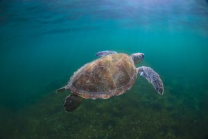
Convolutional Neural Networks
We work with leading non-profit organizations to develop open-source tools to aid in Sea Turtle conservation. Using regional convolutional neural networks (R-CNN), a type of deep learning artificial intelligence, we hope to automate Sea Turtle counts from surveys generated via drone video and imagery. Using currently available imagery and video already collected, ABS is working to train a deep learning network to recognize and count sea turtles, unassisted, from a variety of video and imagery platforms to help researchers better characterize and constrain turtle movement, survival, abundance, and densities.